 Fraunhofer-Allianz Verkehr
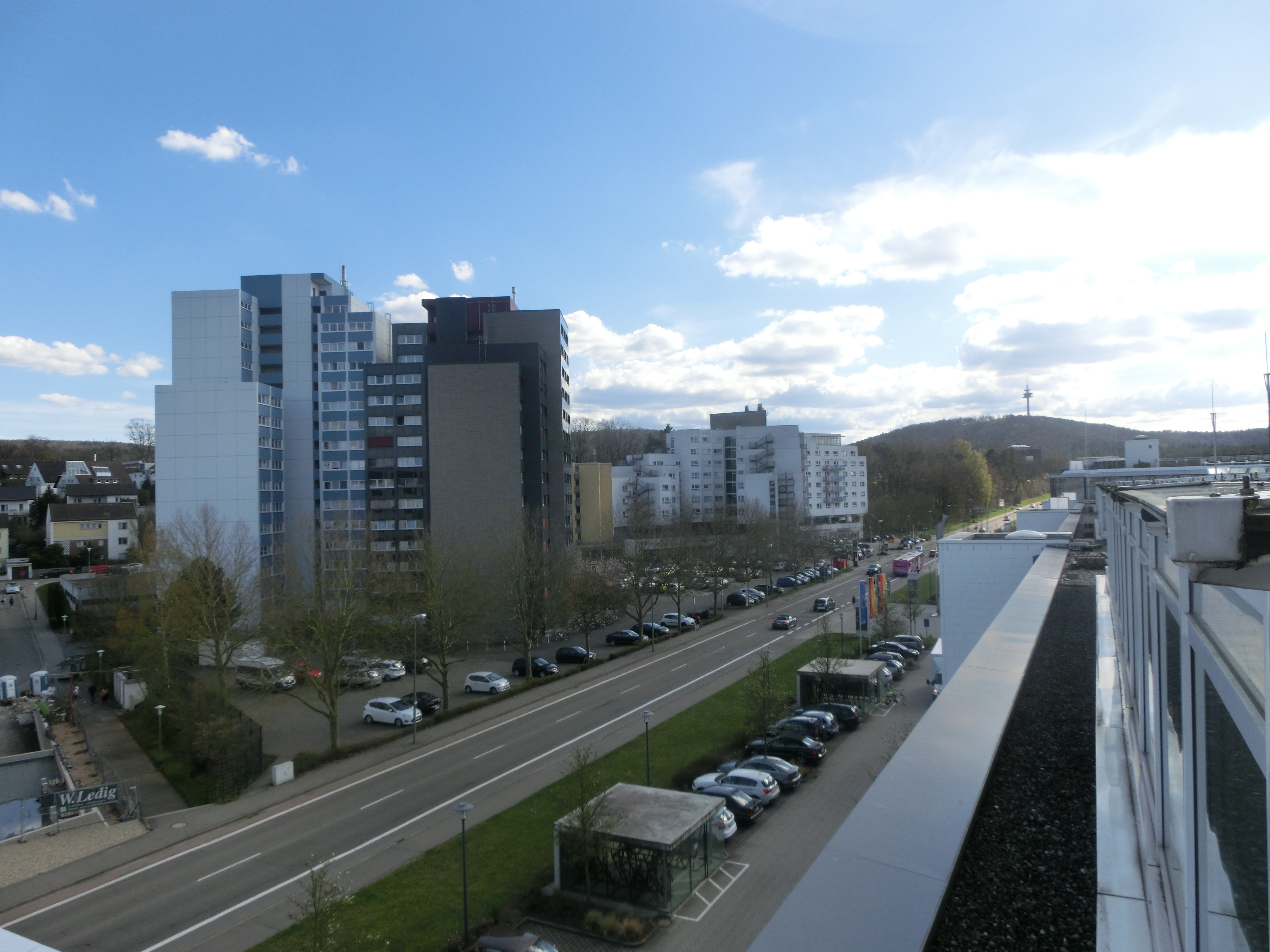


Due to the constantly increasing complexity of assistance and automation functions in vehicles, however, classic testing and design procedures are increasingly reaching their limits.
Current approaches, such as the description of the logic of a road network, often fail to capture complex peripheral cases, which are present in reality. These include, for example, incomplete road markings or defective asphalt. Real assistance systems must, however, be able to achieve a safe driving condition even in the absence of road markings. This must be taken into account early in the development process.
The »VMC® Road and Scene Generator« software package which is currently developed as part of the »Virtual Measurement Campaign« (VMC®) software suite enables the virtual development and testing of automation systems based on real environmental data.
Portfolio
- Virtual development and testing of automation systems based on real environmental data
- Derivation of a representative city or region with regard to selected criteria (certain slope or curviness characteristics etc.)
- Geo-referenced 3D laser scan of the environment
- Automated identification and classification of traffic-relevant objects (vehicles, lanes, road markings, buildings etc.) from 3D point clouds
- Generation and export of traffic-relevant environmental data in OpenDrive® format